For the first time Codemotion took place in Berlin
We are working for the second edition of Codemotion!
In 2006 data visualizations using Maps exploded, making them some of the most popular visualizations on the web. Everything from hotel finders to crime maps to urban planning, and environmental studies shown on maps. This was driven primarily by the ease of use of Mapping APIs such as the Google Maps API.
With the growth of mobile devices, mapping moved along with them, particularly on Android and iOS. But as mapping becomes more common, users want a more complete picture of the world.
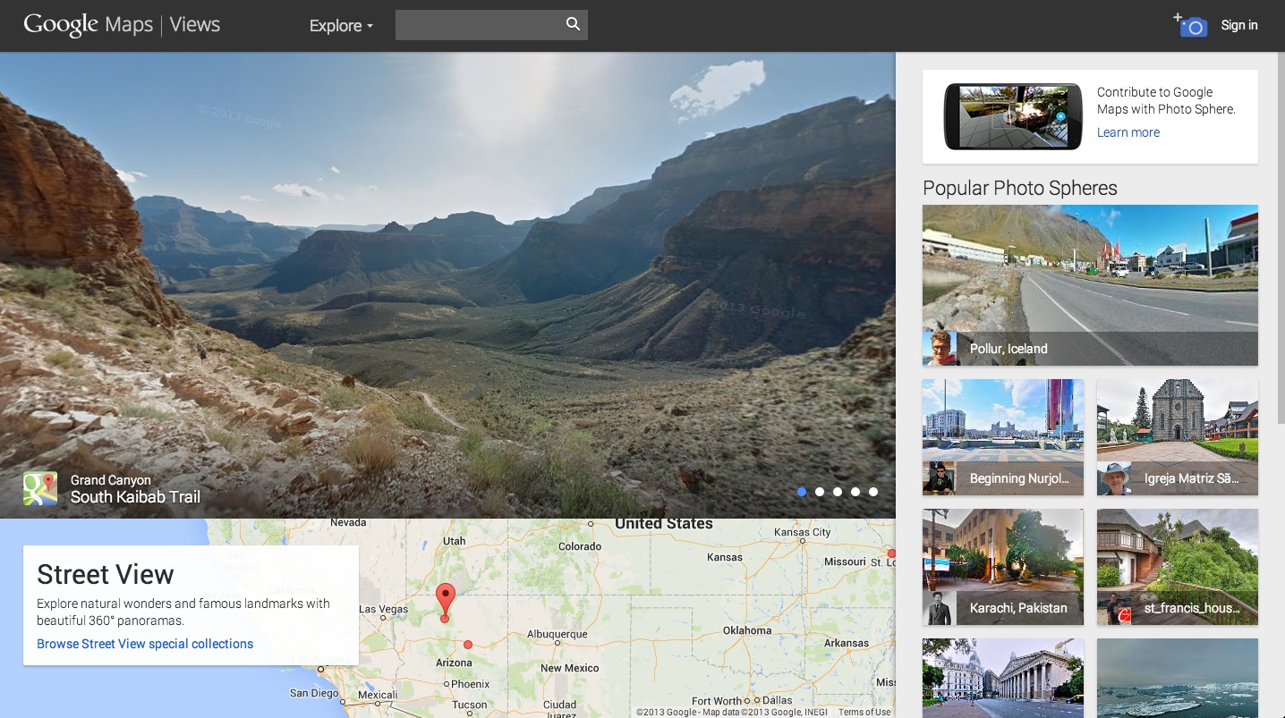
Along with maps, users want to explore their world. This was a big part of the impetus behind Google Street View, giving user the ability to explore their world, visualizing data on top of the real world.
Developers can use that capability in their own applications, viewing Google’s data and their own custom street view panoramas. During our presentation, Kasia and have shown how to use the power of Google Street View imagery and your own imagery in your applications.

Prendete un DB @NoSQL e un client browser P2P e cuoceteli a fuoco lento. La ricetta è dello chef @sandropaganotti http://t.co/0wlBLSqeT2